
Geospatial Decision Support
Addressing Today’s Challenges
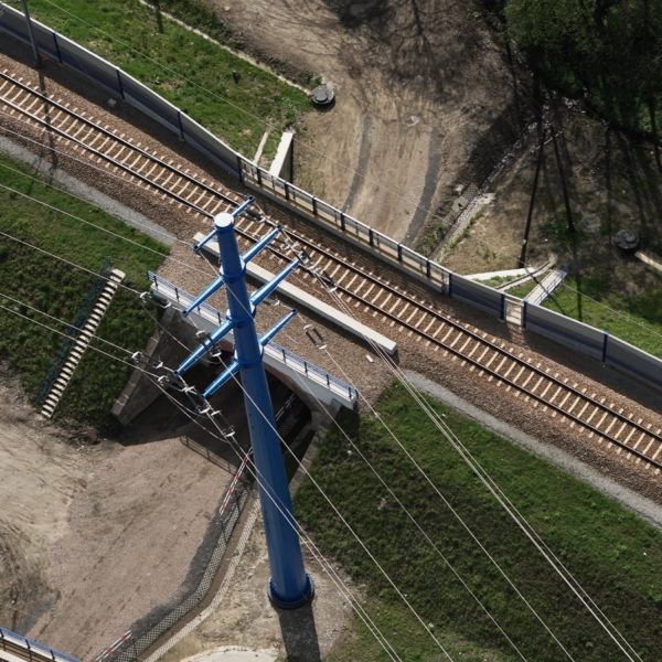
Architecture, engineering, and transportation planners continue to address today’s challenges of planning, modernizing, and maintaining transportation infrastructure.
Modern & Integrated Geospatial Capabilities
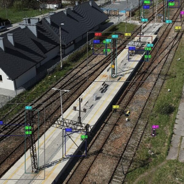
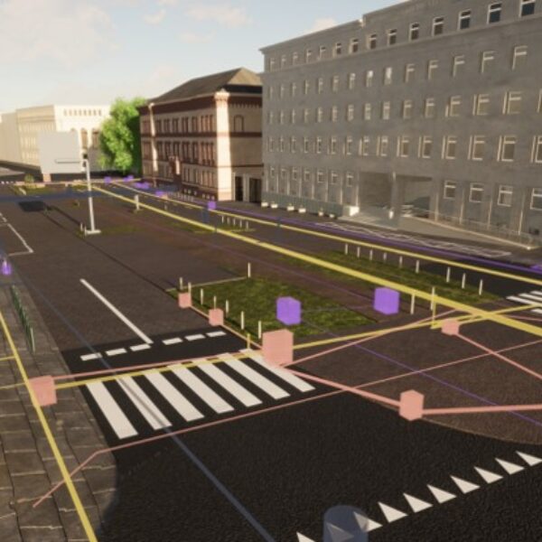
Modern geospatial platforms play a significant role as a decision support capability and provide a comprehensive solution in support of transportation design, planning, inspections, and asset management.
Visualize & Management Assets
GISonLine specializes in supporting organizations with the visualization and management of transportation assets using modern geospatial technologies that can be integrated with existing business systems. Local government and organizations can maximize the value of their geospatial investments and achieve a more collaborative, integrated, and scalable approach to the planning and management processes.
- Transportation Planning & Roadway Design
- Digital Twin, BIM, 3D Modeling
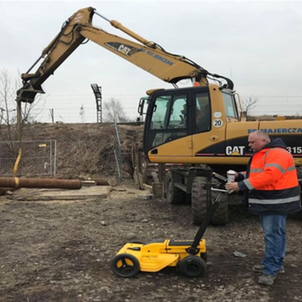
- Inspections & Drone Surveys
- Noise Emission Studies
- Site Engineering Surveys
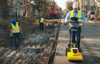
- Underground Detection (utilities / infrastructure)
- Mobile Solutions for field data collections
Learn More
Discover through the case studies, services and products how GISonLine has supported clients within the transportation sector.
Transportation
Client Success
Our Services

GIS Implementation & Integration

Data Management & Visualization
Aerial Inspections & Underground Detection
Our Products


GRIDonLine is a comprehensive GIS Utilities Asset Management (AM) system designed to scale from small to large enterprise utility networks.


UTIL.Inspections is a cloud-based (SaaS) web mapping application designed specifically for viewing, integrating and collaborating on survey & inspection datasets.


The innovative UTIL.Investments platform is designed to address the needs of industries involved in the design and implementation of linear infrastructure projects.

Contact us
Looking for Location Intelligence?

