
Survey & Inspections
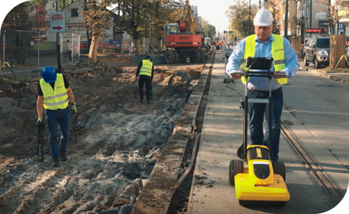
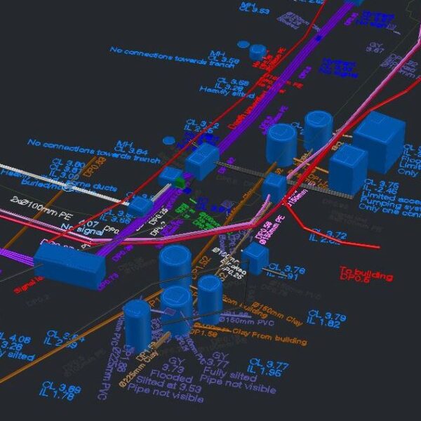
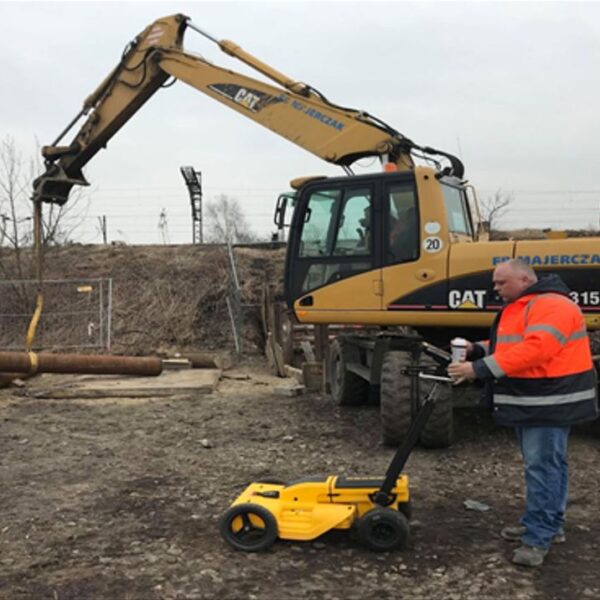
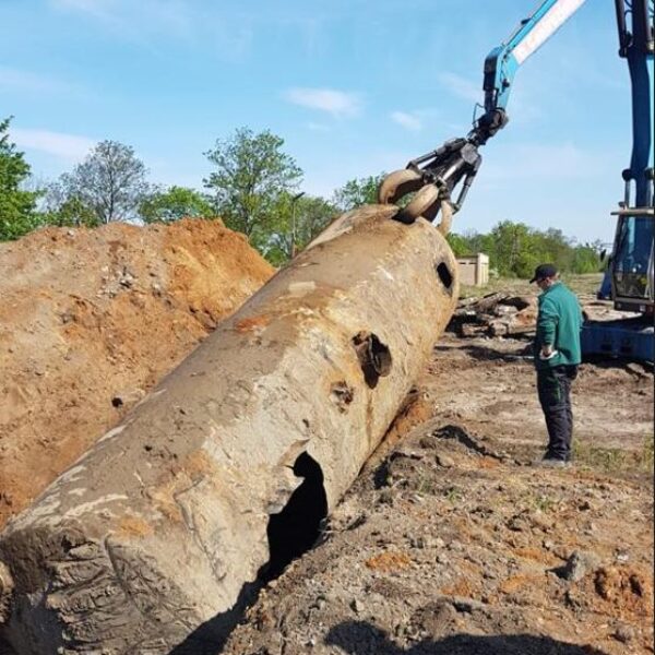
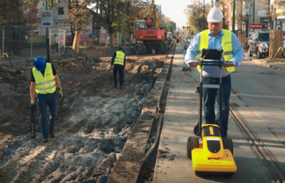
Underground Detection
knowing where underground utility data exists prior to any development project is essential to reduce the risk of damage to underground services and significantly reduce the risks to field crews and personnel. GISonLine provides comprehensive underground detection services using the latest technologies and methods to deliver precise survey data and detailed mapping on the location, depth, and characteristics of underground utilities & infrastructure.
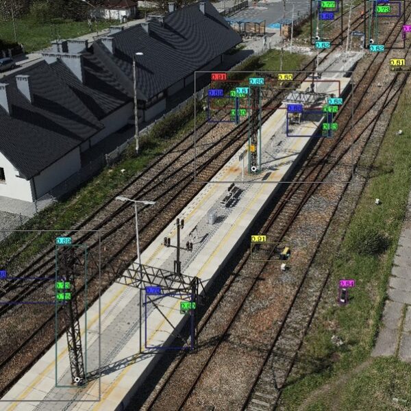
Aerial Inspections
Aerial inspections using drones offer safe and efficient operations to significantly reduce inspection times, save on labor costs, and increase the safety of field crews and inspectors. GISonLine’s aerial inspection services support utility operators and local governments with the inventory, maintenance, and visualization of utilities, infrastructure, and critical assets.
Survey & Inspection
Client Success
Our Services

GIS Implementation & Integration

Data Management & Visualization
Aerial Inspections & Underground Detection
Our Products


GRIDonLine is a comprehensive GIS Utilities Asset Management (AM) system designed to scale from small to large enterprise utility networks.


UTIL.Inspections is a cloud-based (SaaS) web mapping application designed specifically for viewing, integrating and collaborating on survey & inspection datasets.


The innovative UTIL.Investments platform is designed to address the needs of industries involved in the design and implementation of linear infrastructure projects.

Contact us
Looking for Location Intelligence?

