
Integrate GIS With Your Business Systems
Maximize the value of your GIS
Enterprises have invested heavily in the systems and applications that support their business operations and workflows. GISonLine understands this, and approaches each GIS integration project with the need to plan for how a geospatial platform can best support business operations, integrate with other systems, and maximize the value that a GIS can provide.
Get the Benefits of System Integration
- Integrate GIS with existing business systems (ex: Financial, Asset Management)
- Achieve an integrated view of company core assets
- Remove data duplication and multiple copies of data
- Increase data quality and lower data maintenance costs
- Visualize spatial data combined with multiple data sources
- Add cross system reporting & analysis with spatial visualizations
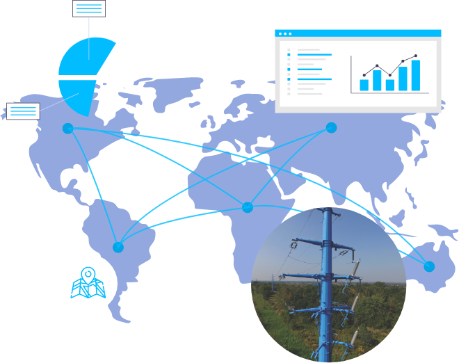
See the Big Picture
Connect GIS with your Enterprise IT Eco-Systems
Achieve a Connected Enterprise
Enterprise IT systems within an organization hold & manage valuable information about key assets and business operations. By integrating this business data with the power of location using a GIS mapping system, significant advancements in decision support and operations can be achieved.
System & Services Interoperability
Every organization and industry faces a unique set of challenges. GISonLine specializes in assessing an organization’s needs for GIS integrations and provides the expertise and experience using the latest technologies and standards that enable system and service interoperability.
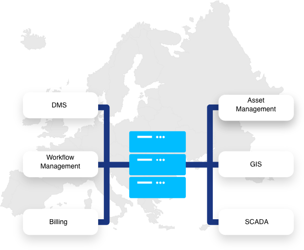
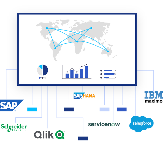
Common GIS-to-Business Systems Integrations
- Asset Management Systems (ex: IBM Maximo, SAP PM)
- Enterprise Resource Planning (ex: SAP)
- Business Intelligence Platforms
- CMDB, CMS, Data Warehouses, SCADA
- Utilities infrastructure
- Property Management / Real Estate
- Marketing
System Interoperability
Using the Latest Technologies & Standards
Get Interoperability Between Your Systems
GISonLine developers & integrators stay up-to-date on the latest technologies, standards and specifications adopted by industry and the IT community.
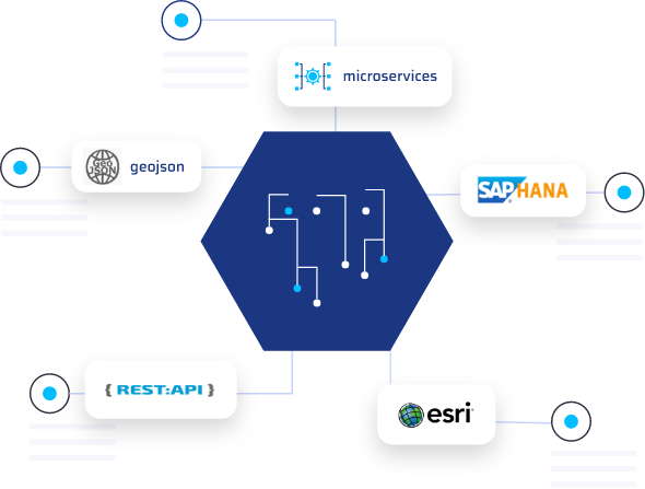
Whether its point-to-point integrations, or service bus connections, or linking to micro-services and REST APIs, GISonLine has the experience to plan, design, and integrate geospatial solutions into an organization’s existing IT environment.
Expertise In Technology Standards & Formats
- ESRI native REST services
- REST API, SOAP, Microservices
- XML, JSON, GeoJSON
- Open GIS Consortium (OGC) Specifications
- Open Database Technologies such as Oracle, SQL Server, PostGIS, SAP HANA

Contact us
Looking for Location Intelligence?
