Enabling Smart Cities
Integrating Geospatial Technologies
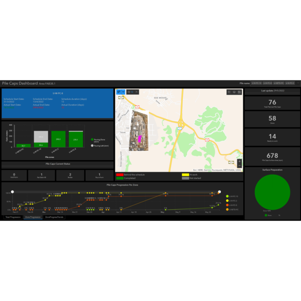
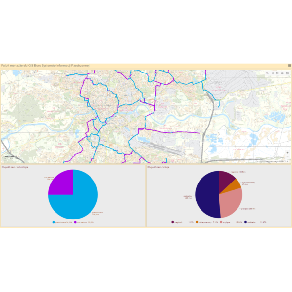
Smart cities are urban areas and centers that integrate data and technology designed to improve the quality of life of its residents and communities. GISonLine supports local governments with making advancements in the areas of Smart Cities by integrating geospatial technologies into government operations and its delivery of services to citizens.
- Integrating location technology into government services
- Building mobile mapping solutions in support of field crews
- Integrating location data with sensor inputs (Internet of Things)
From Public Works to Public Health
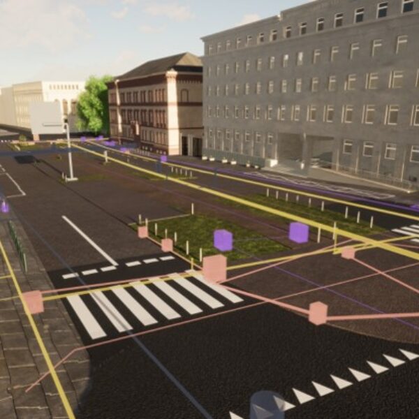
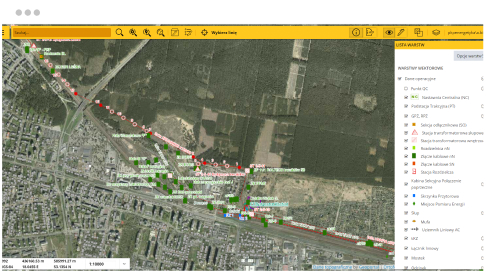
Geospatial technologies provide the ability to access detailed spatial data (ex: maps, imagery, 3D models) and have made a significant impact on a wide range of local government operations. As a geospatial technology integrator, GISonLine helps local governments and organizations realize the value that geospatial technologies bring in support of common government operations:
- Utilities & Asset Management
- Public Safety & Emergency Management
- Airports and Aviation Planning & Management
- Land Use Planning & Management
- Urban & Community Planning
- Infrastructure, Transportation & Public Transit
Learn More
Discover through the case studies, services, and products below how GISonLine has supported local government projects and initiatives.

Local Government
Client Success
Our Services

GIS Implementation & Integration

Data Management & Visualization

Aerial Inspections & Underground Detection
Our Products
GRIDonLine is a comprehensive GIS Utilities Asset Management (AM) system designed to scale from small to large enterprise utility networks.
UTIL.Inspections is a cloud-based (SaaS) web mapping application designed specifically for viewing, integrating and collaborating on survey & inspection datasets.
The innovative UTIL.Investments platform is designed to address the needs of industries involved in the design and implementation of linear infrastructure projects.

Contact us
Looking for Location Intelligence?


