
Integrating Terrain Scanning & Underground Utilities Detection For Advanced Site Mapping (Stockholm, Sweden)
Overview
Client: EXACT
Location: Stockholm, Sweden
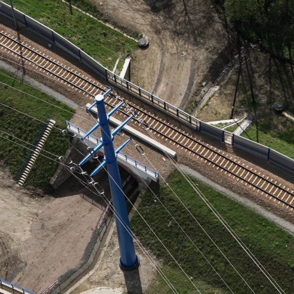
In support of a planned industrial complex near the Stockholm city center, GISonLine, together with its partner (EXACT) performed above and below ground surveys to create a comprehensive digital representation of the existing and planned infrastructure.
The Impact
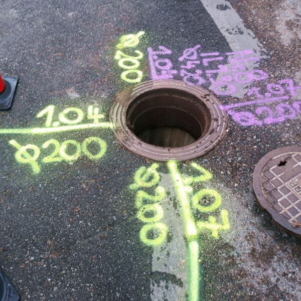
As part of the above and below ground surveys, the GISonLine underground detection team collected data covering an area of over 12,000m2 using multiple detection sensors and methods such as ground penetrating radar (GPR), electromagnetic locators, location probes, and inductive measurements. In addition, the EXACT team collected point cloud data using terrain laser scanning obtained from drone platforms and data collections.
The Outcome
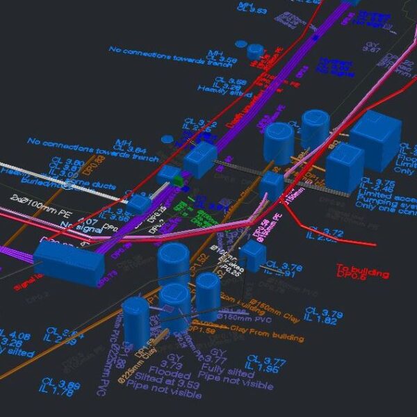
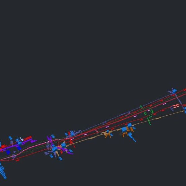
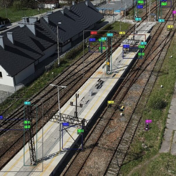
GISonLine successfully conducted the underground surveys to provide the client with a complete survey and 3D model on the location, depth, and characteristics of the existing utilities network. Key mapping products were created and delivered that provided 2D maps and 3D models for advanced visualization of the utility networks.
The models of the underground utilities were integrated with the above ground scanning (point cloud datasets) to form a highly accurate 3D model and representation of the industrial area.

Client
Industry
Survey & Inspection
Region
Europe
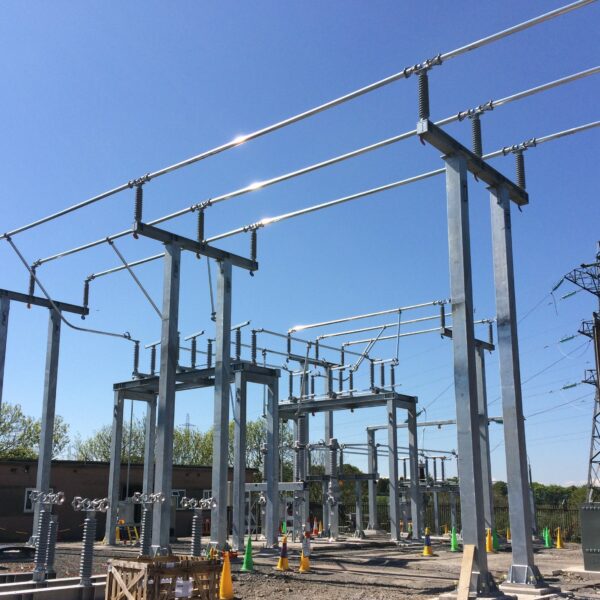
Technology
GPR - Lecia DS2000
Detector - Leica Ultra Advanced
GNSS solution - Leica CS20/GS16
Terrain Laser Scanner
CAD and 3D modeling software


GRIDonLine is a comprehensive GIS Utilities Asset Management (AM) system designed to scale from small to large enterprise utility networks.


UTIL.Inspections is a cloud-based (SaaS) web mapping application designed specifically for viewing, integrating and collaborating on survey & inspection datasets.


The innovative UTIL.Investments platform is designed to address the needs of industries involved in the design and implementation of linear infrastructure projects.

Contact us
Looking for Location Intelligence?

