GIS Consulting and Mapping Support to Thames Tideway Project (London, UK)
Overview
Client: Thames Water Utilities Ltd
Location: London, UK
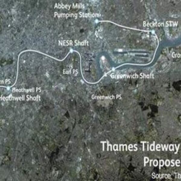
In support of the United Kingdom’s largest water and wastewater services agency (Thames Water), GISonLine provided Esri ArcGIS mapping and data migrations services. The aim of the program was a thorough reconstruction of London’s storm water drainage system, including the construction of two new tunnels: the ‘Thames Tunnel’ (32km long) and the ‘Lee Tunnel’ (7 km long). The tunnels are designed to capture and transfer wastewater discharges for treatment, which would otherwise enter the River Thames and its tributaries during heavy rainfalls.
The Impact
As a trusted geospatial consulting advisor and subcontractor to CH2M HILL (Critigen), GISonLine provided “Team as a Service” support services assigning dedicated GIS technicians and GIS Analysts onsite to the London offices. The support roles provided Esri ArcGIS mapping support, CAD to GIS conversions, data migrations, and quick response times to requests for project design & site maps.
The Outcome
GISonLine successfully supported the Thames Tideway project, which included the collection, analysis, and interpretation of historical source data covering the last 200 years of research of the Thames Tideway.
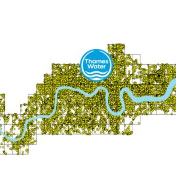
A key success of this project was migration of the data obtained from geological drilling works into a homogeneous Esri ArcGIS geodatabase that was used for mapping and communication of project status and site designs. The CAD to GIS data migrations performed by GISonLine included using FME (Safe Software) to provide the spatial data in a format compatible with the project teams use of the Esri ArcGIS environment.
Client
Industry
Energy & Utilities
Local Government
Environmental Management
Region
Europe
Technology
Esri ArcGIS
FME (SAFE Software)
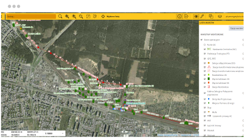
GRIDonLine is a comprehensive GIS Utilities Asset Management (AM) system designed to scale from small to large enterprise utility networks.
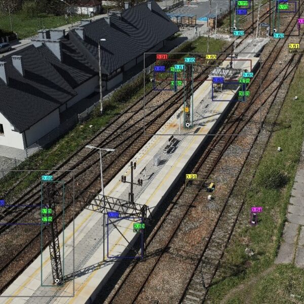
UTIL.Inspections is a cloud-based (SaaS) web mapping application designed specifically for viewing, integrating and collaborating on survey & inspection datasets.
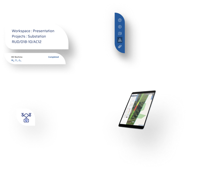
The innovative UTIL.Investments platform is designed to address the needs of industries involved in the design and implementation of linear infrastructure projects.

Contact us
Looking for Location Intelligence?


