Using Drone Data Collections To Identify Medium Voltage (MV) Railway Assets (PKP Energetyka)
Overview
Client: PKP Energetyka
Location: Podłęże-Bochnia, Poland
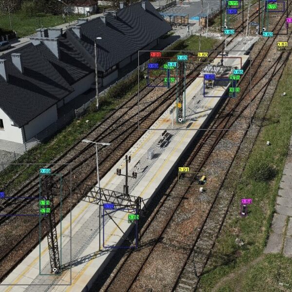
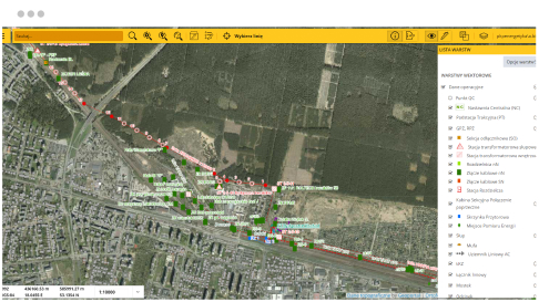
GISonLine completed a research and development project in support of PKP Energetyka’s Medium Voltage (MV) utility networks by conducting an asset inventory using drone data captures for the newly renovated section (20 km) of the Podłęże-Bochnia railway line.
Successful results of the research and data capture efforts supported PKP Energetyka interests in the topic of using drones for the inventory and inspection processes associated with utilities enterprise asset management.
The Impact
Based on the drone identification and inventory of electrical utility assets, the newly renovated section of railway line was captured using two different types of UAV’s: the Phoenix UAV and the Griffin multi-Rotor platforms.
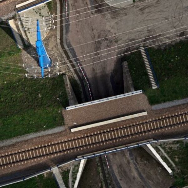
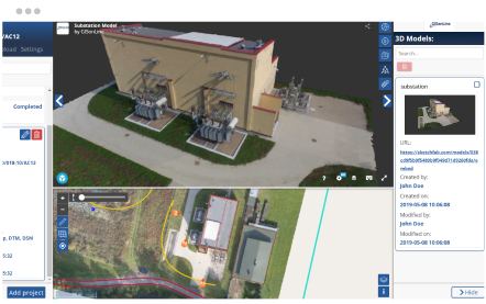
Both drone systems were equipped with high-resolution cameras producing high quality images and videos to support the production of orthophoto maps with a resolution of 1 cm / pixel, a numerical model of land cover, and point cloud data for the visualization of the area in a 3D environment.
The Outcome
GISonLine successfully conducted the aerial data capture covering the 20 kilometers area of railway electrical networks and provided to PKP Energetyka core deliverables:
- High-resolution orthophoto maps
- Point Cloud Data
- 3D Models
- High-resolution images & video of utility network assets
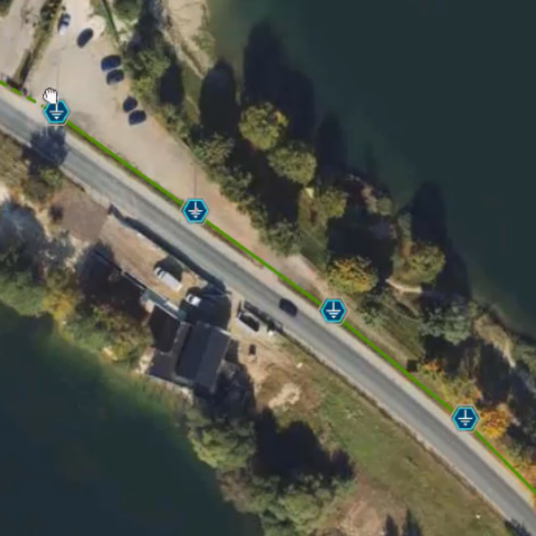
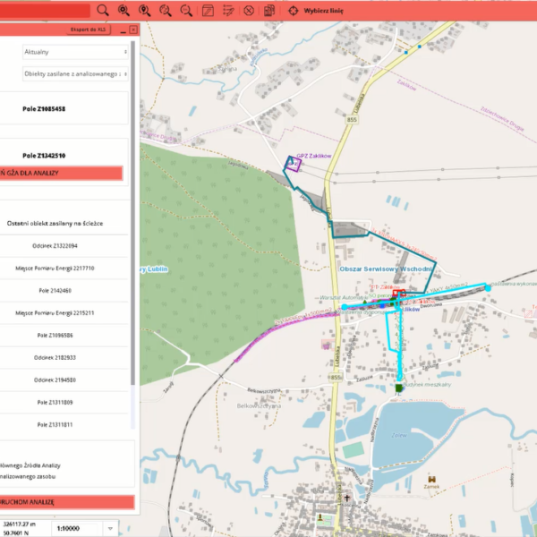
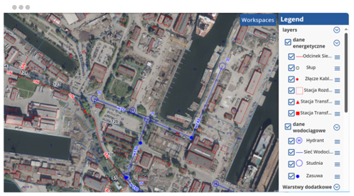
- Geodatabase of utility objects
- Comprehensive report on the use of drones for inspecting utility networks
Client

Industry
Energy & Utilities
Survey & Inspection
Transportation
Region
Europe
Technology
Phoenix Unmanned Aerial Vehicle (UAV)
Griffin multi-Rotor Unmanned Aerial Vehicle (UAV)
ESRI ArcGIS
See some things
we've worked on
GRIDonLine is a comprehensive GIS Utilities Asset Management (AM) system designed to scale from small to large enterprise utility networks.
UTIL.Inspections is a cloud-based (SaaS) web mapping application designed specifically for viewing, integrating and collaborating on survey & inspection datasets.
The innovative UTIL.Investments platform is designed to address the needs of industries involved in the design and implementation of linear infrastructure projects.

Contact us
Looking for Location Intelligence?


