Supporting Feasibility Studies For Newly Built 400 kV Power Lines (PSE -Polskie Sieci Energetyczne)
Overview
In support of the electrical transmission system operator PSE (Polskie Sieci Energetyczne), GISonLine provided geospatial support services that aided planning and decision support for the feasibility studies associated with the planned placement of newly built 400 kV power lines.
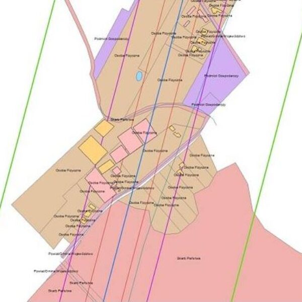
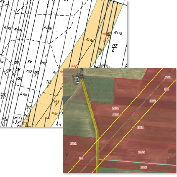
GISonLine obtained existing site surveys and land register maps and integrated the data into a single geospatial data model. The site survey and land use data provided key information to combine with spatial data that provided the ability to perform spatial and statistical analysis in support of site feasibility studies and optimal placement of the electrical power line towers.
The Impact
For the feasibility studies, which included 241 kilometers of area, over 160 sheets of existing geodetic maps were obtained at various scales, as well as 35,000 feature extracts from the land and building register which were converted and stored in the newly designed digital database.
The Outcome
GISonLine successfully collated and integrated the site data obtained from the geodetic maps and land & building registry to form a single instance of a digital database.
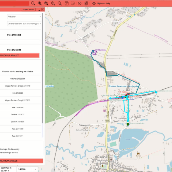
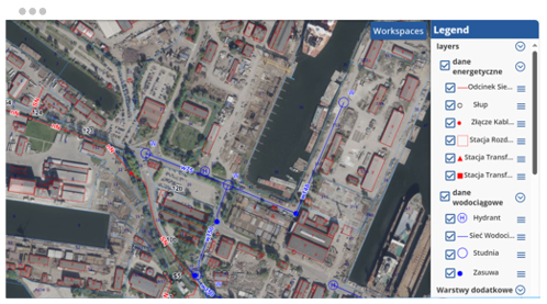
Using the obtained data, GISonLine integrated the information into the Esri ArcGIS environment and performed a series of geo-statistical analysis, map visualizations, and created a set of spatial reports.
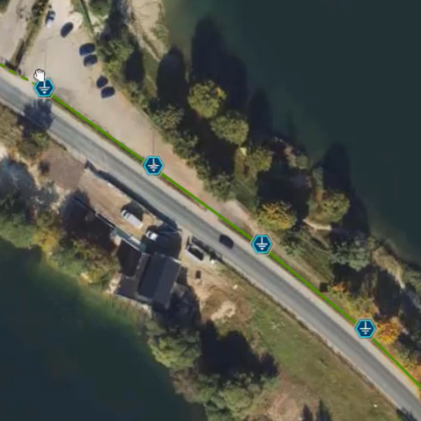
The spatial analysis and visualizations enabled the project contractors and stakeholders to visualize the number of plots through which the proposed power lines were planned to be developed. In addition, the spatial analysis provided key decision support to optimally design the final course and layout of the proposed high-voltage lines and towers.
Deliverables and tasks under this project included:
- Acquiring data from regional surveying centers
- Conversion of data to spatial / vector formats
- Construction of the spatial data model
- Creating thematic maps using Esri ArcGIS
- Performing spatial and statistical analysis
Client

Industry
Energy & Utilities
Environmental Management
Region
Europe
Technology
Esri ArcGISONLINE
Javascript API
See some things
we've worked on
GRIDonLine is a comprehensive GIS Utilities Asset Management (AM) system designed to scale from small to large enterprise utility networks.
UTIL.Inspections is a cloud-based (SaaS) web mapping application designed specifically for viewing, integrating and collaborating on survey & inspection datasets.
The innovative UTIL.Investments platform is designed to address the needs of industries involved in the design and implementation of linear infrastructure projects.

Contact us
Looking for Location Intelligence?


