Integrating Custom Mobile Apps for Field Data Collections of Electrical Utility Network (Tauron Dystrybucja SA)
Overview
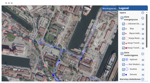
GISonLine was tasked to support a large scale network inventory project involving field data collections for the TAURON network of utility assets & resources. In addition, a core requirement was for TAURON to maintain critical business operations during the transition from a legacy asset management system to a modern geospatial mapping platform.
The Impact
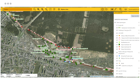
Integration of mobile geospatial technology allowed TAURON team-members the ability to collect and inventory core utility assets and attributes while operating in the field.
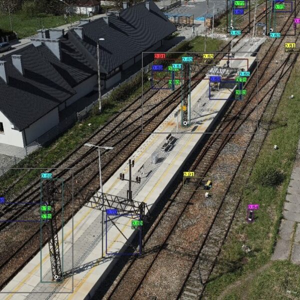
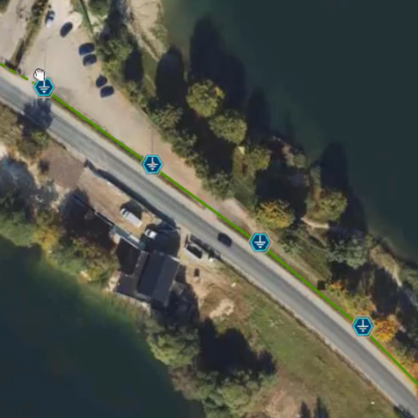
Over 40 thousand electrical poles and substations were surveyed with detailed information collected regarding their spatial locations, condition and attributes, and documention via site photos.
The outcome
GISonLine successfully implemented a custom mobile mapping solution that supports field crews during the data collection and inventory of utility assets. The mobile app supported workflow and data management tools designed to work with specifically with geospatial data.
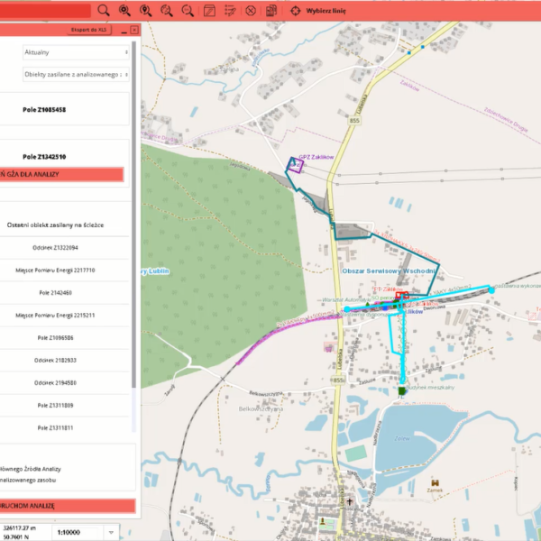
The custom application included reporting dashboards allowing users to track project phases with required performance indicators and issue management. As a result of the mobile applications, TAURON was able to leverage up-to-date geospatial capabilities for managing and visualizing their enterprise utility network of assets.
Client

Industry
Energy & Utilities
Survey & Inspection
Consumer Applications
Region
Europe
Technology
Esri- ArcGIS Server
Esri ArcGIS Online
Safe Software – FME
.NET
Android
Collector for ArcGIS
See some things
we've worked on
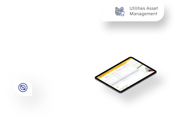
GRIDonLine is a comprehensive GIS Utilities Asset Management (AM) system designed to scale from small to large enterprise utility networks.
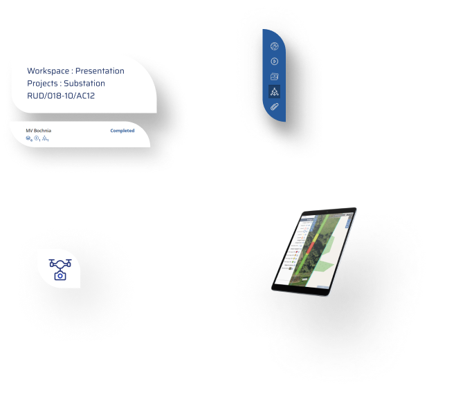
UTIL.Inspections is a cloud-based (SaaS) web mapping application designed specifically for viewing, integrating and collaborating on survey & inspection datasets.
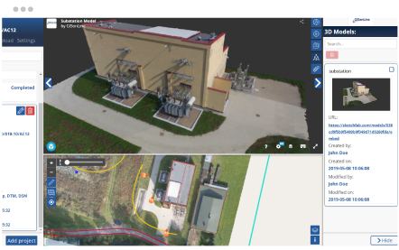
The innovative UTIL.Investments platform is designed to address the needs of industries involved in the design and implementation of linear infrastructure projects.

Contact us
Looking for Location Intelligence?


