
Using Ground Penetrating Radar to Map & Visualize Underground Utility Networks (Bad Bevensen, Germany)
Overview
Client: Exact
Location: Bad Bevensen, Germany
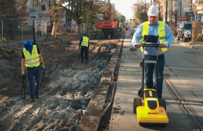
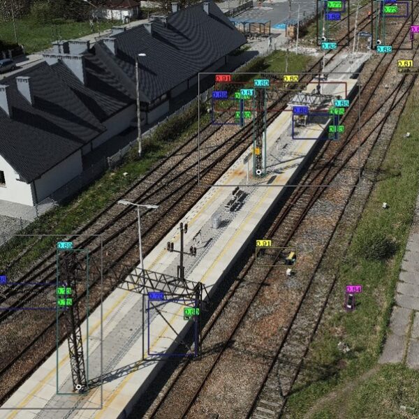
In support of its survey and inspection partnership, GISonline conducted an underground detection survey to create multi-disciplinary digital maps of the underground utilities network covering an area of approximately 1 Kilometer in the Bad Bevensen region of Germany. The project included integrating data from a comprehensive soil surveys associated with sections of the project area for the visualization of buried utilities and soil types.
The Impact
The project had a significant impact on determining the course and the depth of the existing underground utility network using detection methods such as Ground Penetrating Radar (GPR).
The Outcome
GISonLine successfully conducted the underground detection survey of the project site and utility lines and produced key sets of deliverables:
- GRP survey detection of underground obstacles and objects
- Preparation and delivery of underground utility maps
- Integration of existing documentation related to the project site
- Delivery of all CAD mapping data and files

Client
Industry
Energy & Utilities
Survey & Inspection
Transportation
Region
Europe
Technology
Ground Penetrating Radar (GPR)
AutoCAD


GRIDonLine is a comprehensive GIS Utilities Asset Management (AM) system designed to scale from small to large enterprise utility networks.


UTIL.Inspections is a cloud-based (SaaS) web mapping application designed specifically for viewing, integrating and collaborating on survey & inspection datasets.


The innovative UTIL.Investments platform is designed to address the needs of industries involved in the design and implementation of linear infrastructure projects.

Contact us
Looking for Location Intelligence?

