Providing Field Crews with Mobile Mapping For High Voltage Power Transmission Asset Inventory (PSE)
Overview
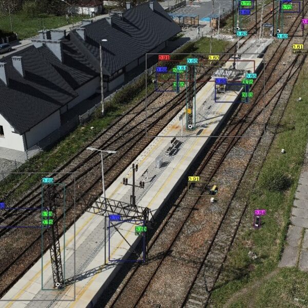
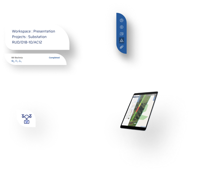
GISonLine was engaged in a project to perform a large-scale asset inventory for energy provider (Polskie Sieci Energetyczne – PSE). The project included capturing and analyzing high voltage power transmission network assets and infrastructure. A primary goal of the project was to establish a geospatial mobile application that allowed PSE field crews to have specific mapping capabilities in support of data collections and asset inventory.
The Impact
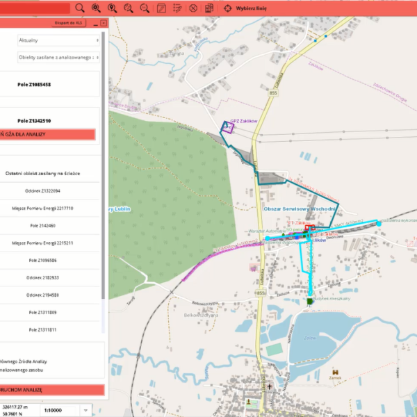
As part of the project initiatives, GISonLine combined utility network spatial datasets with existing land ownership database records, which then directly supported utility network planning and analysis. GISonLine provided PSE field crews with a custom mobile geospatial application designed specifically for the collection and inventory of utility assets.
The outcome
PSE field crews are now able to support business operations using asset inventory and location analysis capabilities that aid in decision making processes such as: asset location risks, site planning, and environmental impacts.
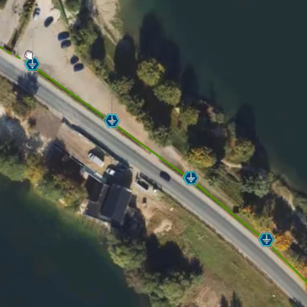
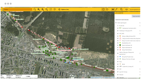
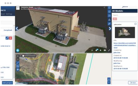
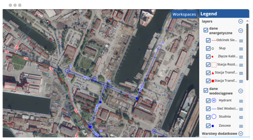
GISonLine provided PSE with mobile mapping capabilities to perform site planning and spatial analysis / visualization of high voltage transmission assets and allowing for spatial analysis of assets in relation to physical surroundings (ex: buildings, roads, housing, water bodies).
Client

Industry
Energy & Utilities
Region
Europe
Technology
ESRI - ArcGIS Server
ESRI ArcGIS Online
Android
Windows Mobile
See some things
we've worked on
GRIDonLine is a comprehensive GIS Utilities Asset Management (AM) system designed to scale from small to large enterprise utility networks.
UTIL.Inspections is a cloud-based (SaaS) web mapping application designed specifically for viewing, integrating and collaborating on survey & inspection datasets.
The innovative UTIL.Investments platform is designed to address the needs of industries involved in the design and implementation of linear infrastructure projects.

Contact us
Looking for Location Intelligence?


