Mapping Telecom Broadband Network Coverage Using Geospatial Analysis (Podlaskie Region, Poland)
Overview
In support of establishing telecommunication broadband network infrastructure for the Podlaskie region in Poland, GISonLine was tasked to produce an accurate inventory and geospatial visualization of the telecommunication network.
The Impact
The project included conducting spatial analysis and visualization of the broadband network for identification of areas with the weakest coverage in services along with combining population and demographic datasets.
The Outcome
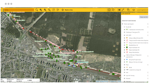
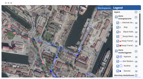
GISonLine obtained and collated industry data, regional population data, and telecom administrative data from multiple sources and disparate formats to form a comprehensive telecom broadband network spatial data visualization.
A key deliverable was the development of geospatial feature layers covering the broadband telecom infrastructure and included CAD and GIS datasets, imagery, and associated attributes (populations, demographics, telecom services). Results of the spatial analysis and mapping allowed for the effective planning and expansion of the telecom network taking into consideration the geospatial analysis showing the population data and areas of weakest coverage.
Client

Industry
Local Government
Region
Europe
Technology
Esri ArcGIS
MapInfo
See some things
we've worked on
GRIDonLine is a comprehensive GIS Utilities Asset Management (AM) system designed to scale from small to large enterprise utility networks.
UTIL.Inspections is a cloud-based (SaaS) web mapping application designed specifically for viewing, integrating and collaborating on survey & inspection datasets.
The innovative UTIL.Investments platform is designed to address the needs of industries involved in the design and implementation of linear infrastructure projects.

Contact us
Looking for Location Intelligence?


