Avoiding Utility Line Collisions Along the Trzebinia Railway Line (Trzebinia, Poland)
Overview
Client: PKP Energetyka
Location: Trzebinia, Poland
The railway station in Trzebinia has a long history and was first opened in October 1847. The main station building still exists today supporting multiple routes from the Trzebinia station.
As part of modernization & maintenance efforts there are continued infrastructure updates and reconstruction projects taking place along the Trzebinia rail transportation networks. GISonLine was pleased to support PKP Energetyka with underground detection surveys for the planning and placement (routing) of newly proposed utility lines near the Trzebinia railway.
The Impact
A primary goal of the underground detection surveys was to check and ensure the planned routing of the new power cables would not collide with existing utility networks. Of specific concern was safety and prevention of utility damages and outages in places where ground drillings were planned.
The Outcome
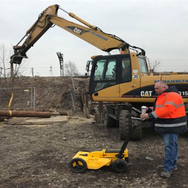
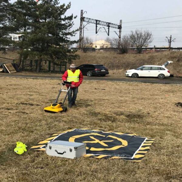
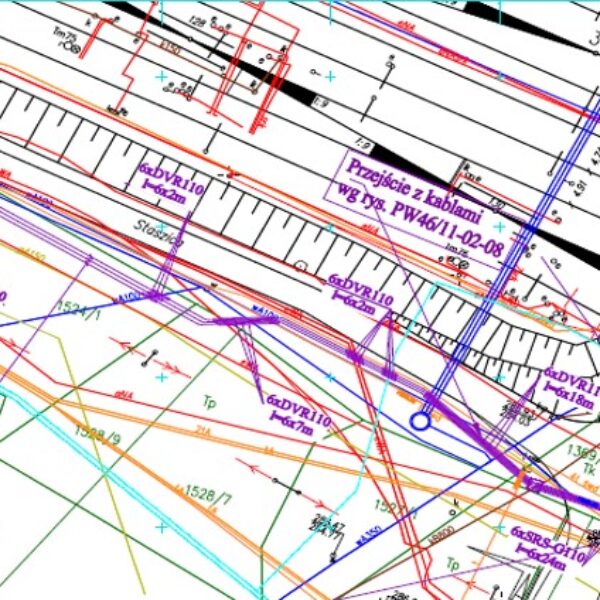
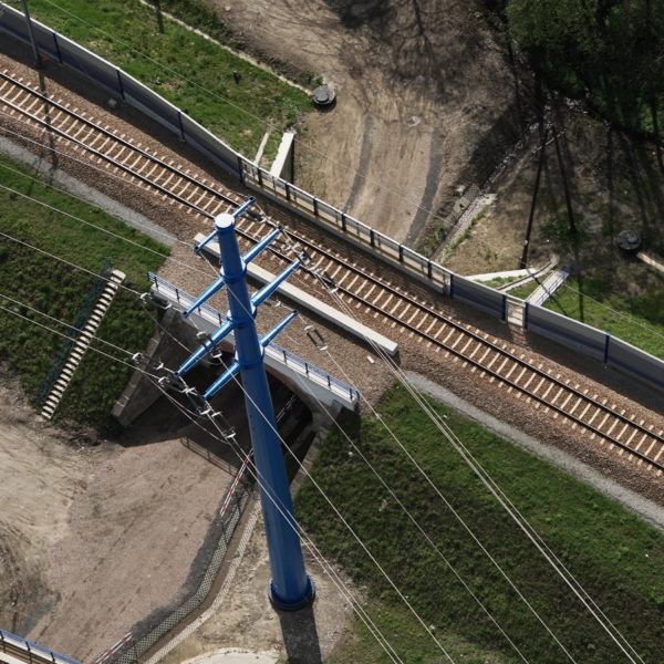
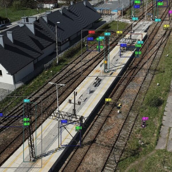
GISonLine successfully completed the underground detection surveys using ground penetrating radar to produce accurate 2D mapping representations on the location of existing (below ground) utility lines. In addition, high resolution imagery was captured using aerial drone data collections for above ground site surveys and mapping.
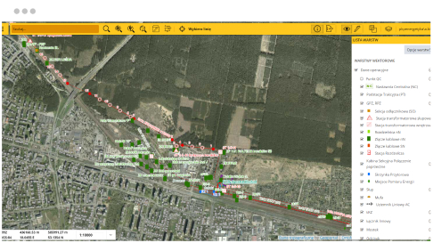
Based on the underground detection surveys, multiple collisions were identified where the proposed cable routing would collide or interfere with existing utilities. As a result, the routing of the proposed cables was changed and incorporated the data from the underground survey analysis and mapping products to determine optimal locations.
Client

Industry
Survey & Inspection
Energy & Utilities
Region
Europe
Technology
GPR - Lecia DS2000
Detector - Leica Ultra Advanced
GNSS solution - Leica CS20/GS16
Drone DJI – Phantom 4 Pro V2.0
CAD, GPR and Pix4D software
GRIDonLine is a comprehensive GIS Utilities Asset Management (AM) system designed to scale from small to large enterprise utility networks.
UTIL.Inspections is a cloud-based (SaaS) web mapping application designed specifically for viewing, integrating and collaborating on survey & inspection datasets.
The innovative UTIL.Investments platform is designed to address the needs of industries involved in the design and implementation of linear infrastructure projects.

Contact us
Looking for Location Intelligence?


