Airobotics Dashboard – the ultimate tool for Monitoring Construction Progress
The Challenge
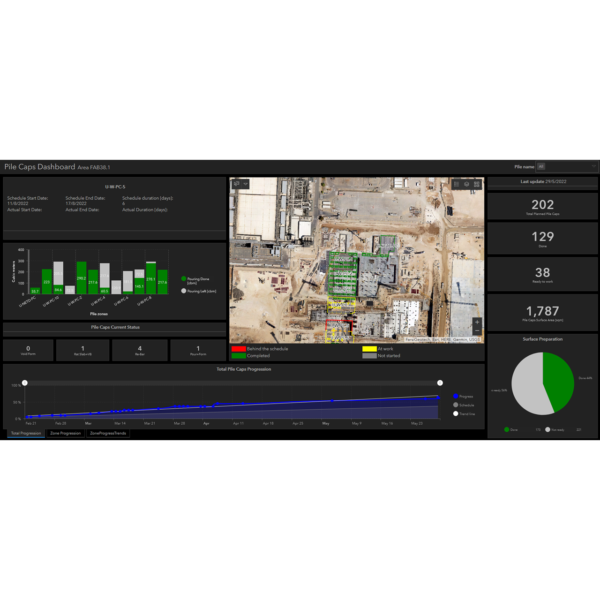
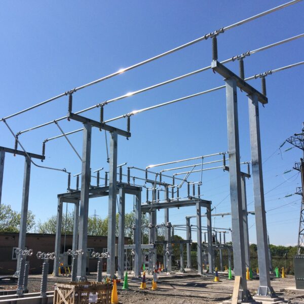
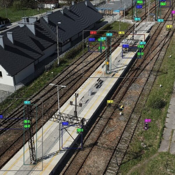
Airobotics hired GISonLine to deliver real-time presentations of the progress of construction works at the construction site of the semiconductors factory. Collision of the actual state of work with the expected schedule. The use of the latest technologies in the field of imaging and laser scanning from drones, to monitor the actual state of work with the expected schedule.
The Impact
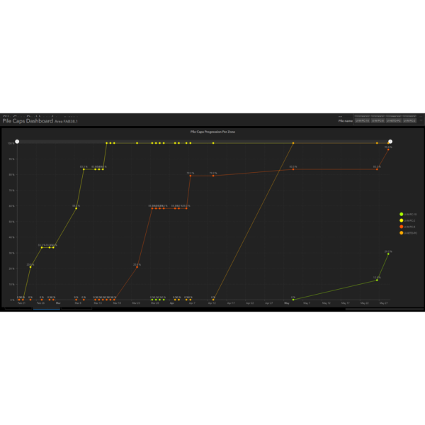
This was enabled by the use of latest technologies – Full insight into the progress of work, enabling the recognition of delays or time reserves. Immediate identification of issues and the problem areas.
The Outcome
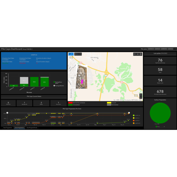
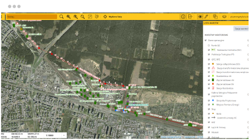
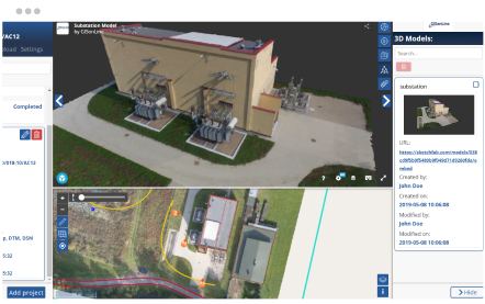
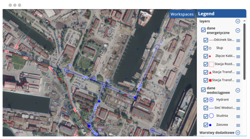
The dashboard site presents construction progress, both visually on an interactive map and statistically, tailored to the project’s unique requirements. Interactive charts and maps harness the power of spatial dynamics.
Client

Industry
Infrastructructure
Region
Israel
Technology
ArcGIS Web AppBuilder
JavaScript, HTML, CSS
Esri ArcGIS Enterprise
Portal for ArcGIS
GRIDonLine is a comprehensive GIS Utilities Asset Management (AM) system designed to scale from small to large enterprise utility networks.
UTIL.Inspections is a cloud-based (SaaS) web mapping application designed specifically for viewing, integrating and collaborating on survey & inspection datasets.
The innovative UTIL.Investments platform is designed to address the needs of industries involved in the design and implementation of linear infrastructure projects.

Contact us
Looking for Location Intelligence?


