Supporting Environmental Protection Through Acoustic Noise Mapping (Mazowieckie Region, Poland)
Overview
GISonLine participated in the project to develop acoustic noise maps for the Mazowieckie region of Poland and the Directorate of National Roads & Motorways. The project included providing geospatial support for key environmental protection and noise abatement programs. The project focus was centered on collecting and organizing data from multiple disparate sources that provide authoritative information in support of creating environmental mapping output and spatial analysis.
The Impact
Through the data collection efforts involving multiple government offices, digitization of analog materials, and migration of existing registration data, GISonLine was able to create a comprehensive picture and geospatial database of the noise impact caused by vehicle traffic was established for the region.
The Outcome
GISonLine successfully performed and delivered spatial analysis reports and thematic maps covering an area of over a million kilometers of roadways within the Mazowieckie region. Deliverables under this project included:
- Preparation of over 9,000 thematic maps for national environmental monitoring
- Conducting spatial analysis & acoustic calculations of noise impact on the environment
- Development of a formalized data model
- Generation of reports for the European Commission
Client

Industry
Environmental Management
Transportation
Region
Europe
Technology
ESRI ArcGIS
ArcGIS SDE
FME
See some things
we've worked on
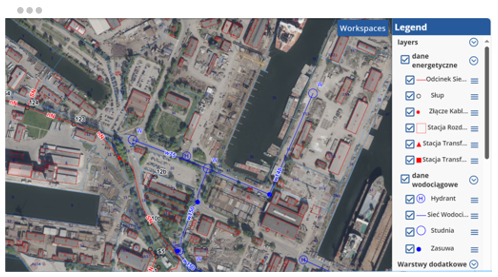
GRIDonLine is a comprehensive GIS Utilities Asset Management (AM) system designed to scale from small to large enterprise utility networks.
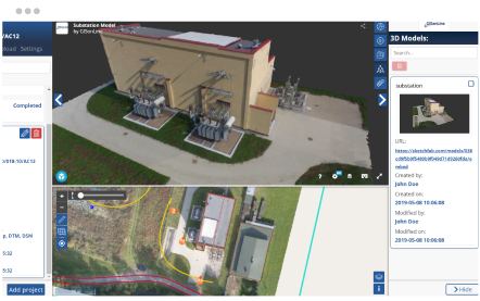
UTIL.Inspections is a cloud-based (SaaS) web mapping application designed specifically for viewing, integrating and collaborating on survey & inspection datasets.
The innovative UTIL.Investments platform is designed to address the needs of industries involved in the design and implementation of linear infrastructure projects.

Contact us
Looking for Location Intelligence?


