
Powering Rail Operations with Spatial Asset Intelligence
Overview
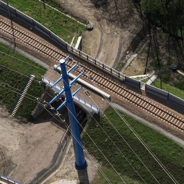
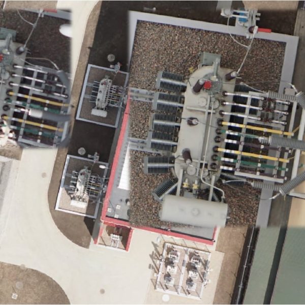
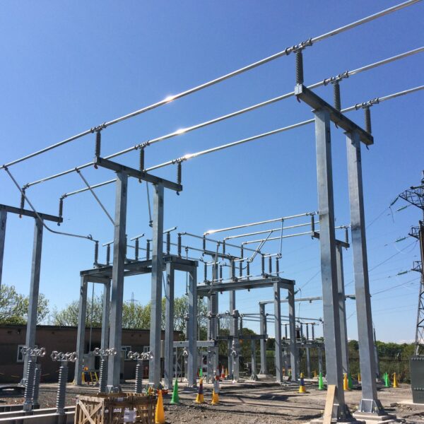
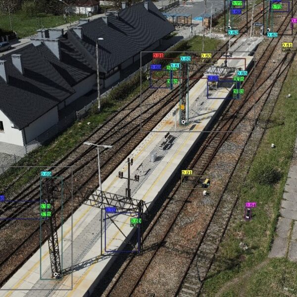
A national rail infrastructure operator launched a strategic program to digitally manage its traction network and associated critical assets. GISonLine delivered an integrated GIS–EAM platform that centralizes spatial and technical data for overhead line equipment, substations, and traction assets, enabling modern, data-driven network management.
Impact
The solution established a single, spatially enabled asset database supporting planning, expansion, maintenance, and incident response across the traction network. GIS became the operational backbone for understanding asset location, condition, and relationships—critical for safe railway operations and uninterrupted rail traffic.
Outcome
The client gained a scalable system covering over 20,000 km of traction network infrastructure, significantly improving asset visibility and data reliability. The platform strengthens operational safety, accelerates decision-making, and provides a long-term foundation for nationwide traction network management and future digital initiatives.
Key Benefits for Rail & Traction Networks
-
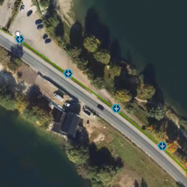
Central traction asset repository – one authoritative source of truth for overhead lines, traction equipment, and supporting infrastructure.
-
Improved operational safety – precise spatial context supports safer maintenance and incident response in live rail environments.
-
Faster fault and outage response – accurate asset location and condition data reduce response times and service disruption.
-
Support for network expansion – GIS-based planning enables efficient design and modernization of traction networks.
-
Integrated GIS–EAM environment – consistent asset data across GIS and enterprise asset management systems.
-
Mobile-enabled field operations – on-site access to up-to-date traction asset data improves inspection and maintenance workflows.


Client
Industry
Energy & Utilities
Transportation
Region
Europe Poland
Technology
ESRI
ArcGIS Enterprise
Restful Services
SQL Server
Oracle
C#
JavaScript, React/Redux


GRIDonLine is a comprehensive GIS Utilities Asset Management (AM) system designed to scale from small to large enterprise utility networks.


UTIL.Inspections is a cloud-based (SaaS) web mapping application designed specifically for viewing, integrating and collaborating on survey & inspection datasets.


The innovative UTIL.Investments platform is designed to address the needs of industries involved in the design and implementation of linear infrastructure projects.

Contact us
Looking for Location Intelligence?

