UTIL.Investments
Designed to Support Linear Investments
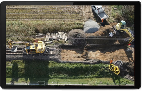
The innovative UTIL.Investments platform is designed to address the needs of industries involved in the design and implementation of linear infrastructure projects. Power lines, railways, roads, or pipelines traverse multiple property boundaries and administrative units, intersect with other transport and transmission routes, navigate diverse terrains, and cross ecological corridors. At GISonLine, we understand the critical importance of having constant access to a database covering all parts of this context, and their dynamics – enhancing efficiency of investment variant analysis, simulations, and agreement procedures.
Comprehensive geospatial solution supporting the decision-making process
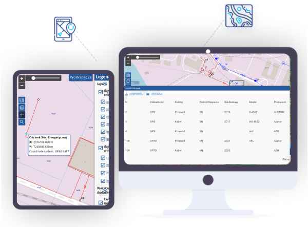
Our application is a comprehensive, web-accessible solution that facilitates the design of investment routes and subsequently monitors their progress against planning, ownership, environmental, and infrastructure constraints. It serves as a central data repository, collecting information at every stage of investment projects and making it accessible to involved stakeholders. The platform enables the integration of data from diverse sources (e.g., cadastral maps, land and building records, orthophotos, thematic maps, etc.) with tabular or spatial data generated during the project.
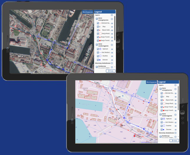
UTIL.Investments
Implementation and usage
UTIL.Investment can be implemented either as a cloud-based or on-premise application, taking advantage of their core characteristics:
- Flexible (Cloud-based) – Access the system in the cloud, benefiting from features such as:
- Pay-as-you-go (subscribe only for the duration you need),
- No administrative overhead for system management,
- Built-in backup capabilities,
- Seamless scalability aligned with project growth.
- On-premise – Deploy the system on the client’s infrastructure, providing full control over data storage.
UTIL.Investments is a user-friendly solution – it does not require advanced technical expertise.
The system features a modular structure tailored to the needs of each user group, providing various stakeholders with access to the data necessary for task execution, depending on the current project status.
You Can Rely on the Support of our Experts
Throughout the Entire Implementation Process and Beyond
GISonLine specialists will:
- configure the system’s functionalities in a version tailored to your project
- thoroughly train your staff in using the platform
- remain available during the agreed-upon post-implementation phase
- and assist with expanding the application to include additional functionalities as needed


Contact us
Looking for Location Intelligence?

