
Reducing Power Outages Using Drones to Detect Faults in High Voltage Power Lines (Tauron Dystrybucja SA)
Overview
Client: Tauron Dystrybucja SA
Location: Poland
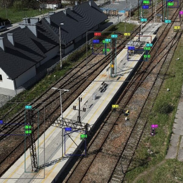
GISonLine performed a series of inspections on the technical condition and state of the high-voltage (HV) power lines and network objects using aerial drone inspections in support of Tauron Dystrybucja SA utility provider.
The Impact
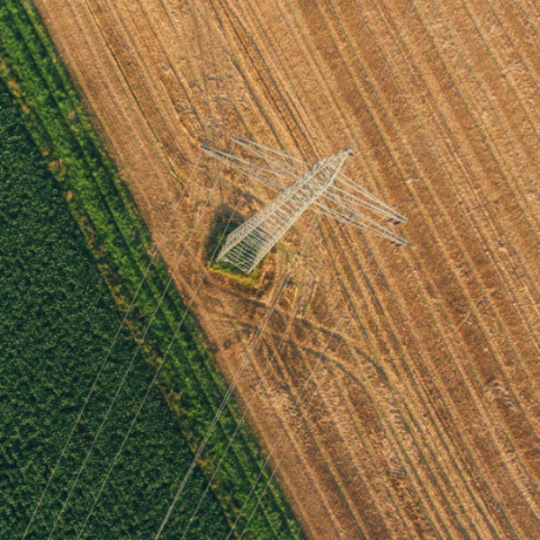
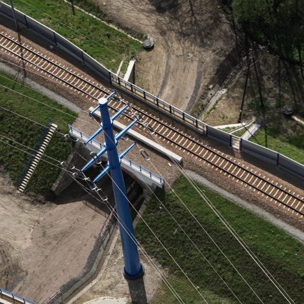
The high-voltage power lines were surveyed using two different UAV’s equipped with high-resolution digital cameras that made possible the identification of asset damages and fault issues. The work was carried out in remote and difficult terrain conditions where access was only possible using UAV platforms. Targeted objects for inspection included:
- Phase Lines
- Overhead Lines
- Support structures
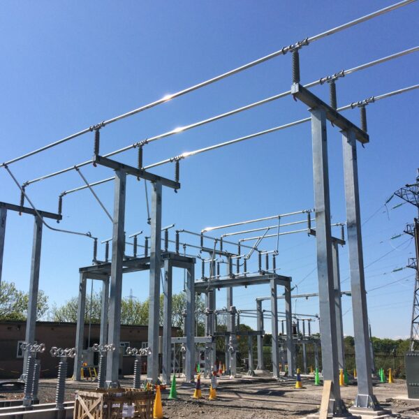
- Network distribution objects (circuit bridges, insulators)
The Outcome
GISonLine successfully conducted the aerial inspection and captured high resolution images and videos detailing the power line networks and assets.
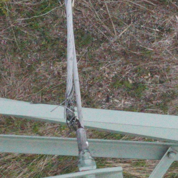
Due to the high resolution and quality of the photos and videos obtained, it was possible to identify and flag areas of damage and concerns associated with the power line sections and network distribution objects. While analyzing the results of the survey, GISonLine identified and documented a number of feature issues (faults) which had a significant impact on the proper functioning of the network such as:
- Lightning protection wires unbraiding
- Wear and discoloration of wire braids
- Damaged and unbraiding of vibration dampers and protective cables
- Damage to electrical insulators


Client

Industry
Survey & Inspection
Energy & Utilities
Region
Europe
Technology
UAV
High Resolution Image Capture


GRIDonLine is a comprehensive GIS Utilities Asset Management (AM) system designed to scale from small to large enterprise utility networks.


UTIL.Inspections is a cloud-based (SaaS) web mapping application designed specifically for viewing, integrating and collaborating on survey & inspection datasets.


The innovative UTIL.Investments platform is designed to address the needs of industries involved in the design and implementation of linear infrastructure projects.

Contact us
Looking for Location Intelligence?

