
Maximizing the Value of GIS by Integrating Esri ArcGIS with IBM Maximo and SAP Systems
Overview
GISonLine was pleased to take part in the project of maximizing PKP Energetyka’s investments in geospatial technologies by integrating their geospatial mapping platform with existing business systems in support of utilities enterprise asset management (EAM).
The goal of the project was to support PKP’s EAM processes through enabling a seamless flow of information between core business systems and the Esri ArcGIS geospatial platform. Specifically, the goal was to integrate the ArcGIS Server to enable data exchanges between the following systems:
- IBM Maximo (Asset Management)
- SAP (Financial Management)
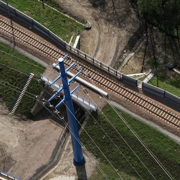
- SCADA (Supervisory Control and Data Acquisition)
The Impact
GISonLine established documentation and performed analysis pertaining to each system’s data storage scheme, system functions, web services, and required data exchanges, which guided the integation and planning efforts. A primary focus was to achieve secure connections to PKP’s existing enterprise service bus and enable access for querying and pulling utilities asset information from the IBM Maximo asset and SAP financial systems.
The outcome
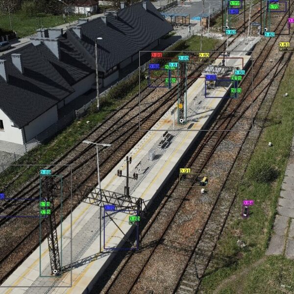
GISonLine completed the ArcGIS systems integration, which included successful connections to PKP’s Enterprise Service Bus. Through the integration of the ArcGIS platform with IBM Maximo and SAP financial systems, an integrated enterprise asset management operating picture was established. This allowed PKP employees and asset managers the ability to spatially visualize the location of utility assets with detailed attribute & finanical information and to ensure work orders refer to their correct asset.
The integration of the Esri ArcGIS Server with the IBM Maximo and SAP systems supported core PKP business processes and cross-domain data integrations that spanned across enterprise asset management, geospatial utilties mapping, document management, and financial management workflows.
GIS SYSTEM INTEGRATION CONTACT US


Client

Industry
Energy & Utilities
Region
Europe
Technology
ESRI - ArcGIS Server
IBM Maximo
SAP Process Integration
SAP Orchestration
.NET Framework
WSDL
SOAP
REST


GRIDonLine is a comprehensive GIS Utilities Asset Management (AM) system designed to scale from small to large enterprise utility networks.


UTIL.Inspections is a cloud-based (SaaS) web mapping application designed specifically for viewing, integrating and collaborating on survey & inspection datasets.


The innovative UTIL.Investments platform is designed to address the needs of industries involved in the design and implementation of linear infrastructure projects.

Contact us
Looking for Location Intelligence?

